- Author
- Johnston, Anthony, DSM, Lieutenant Commander, RAN and Francis, Richard
- Subjects
- RAN operations, Ship histories and stories, 21st century wars/conflict
- Tags
-
- RAN Ships
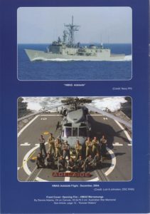
- HMAS Adelaide II
- Publication
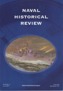
- June 2007 edition of the Naval Historical Review (all rights reserved)
His reply:
‘Re navigation. The Seahawk nav system is an integrated package that combines inertial x 2, Doppler and GPS. The boats have their own GPS. The ship has an excellent nav package itself.
In the case of 6Dec04, the ship easily established the exact location of the target vessel within Iraqi waters. They were only eight miles away, unable to close due to the shoal waters that had claimed the merchantman, as well as other duties precluding same. This check had occurred well prior to any boardings taking place.
We had all been operating in the area for almost 4 months and knew the region intimately. Weather and visibility on the day were excellent, allowing us to visually cross check our position with some well known local and coastal features. I also have radar coverage from a very watchful air controller onboard Adelaide to keep me honest. The bottom line here is that all of this is SOP and we all know where we are.
Clearly, I cannot speak for our ‘friends’, but you have to think that they have some sort of electronic navigation assistance. The simplest indication of where you are is whether you are North East or South West of the SAA channel as this is the inter-national boundary (as can be seen on any chart). The ship was obviously South of that line – placing it in Iraqi waters without doubt.’
